Last weekend we were able to get our feet on one of the NZ Great Walks---the Heaphy track. After a lot of running on roads and dodgy trails, the prospect of getting on a well-formed track was very welcome.
 |
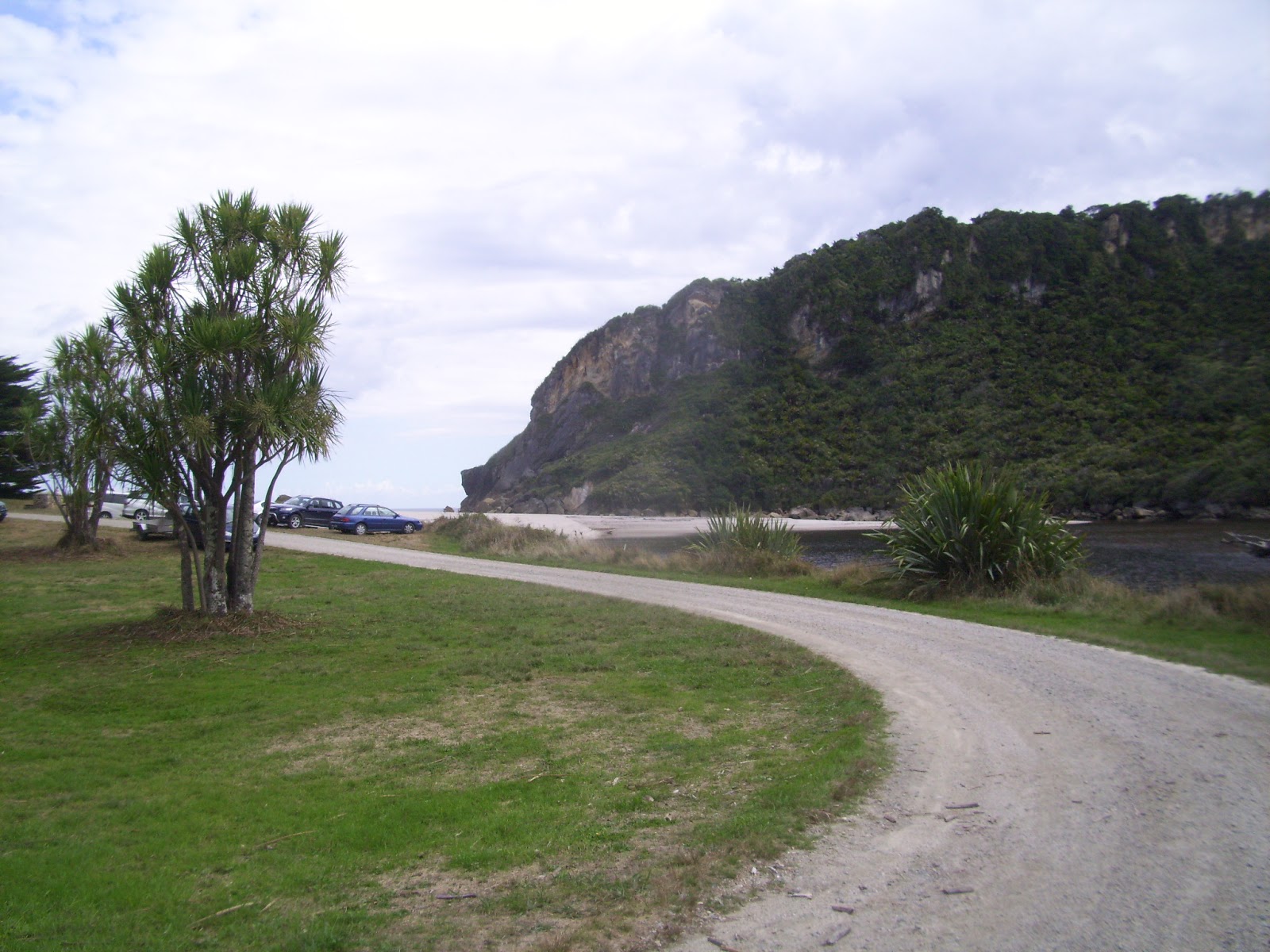
| The carpark at Kohaihai Bay, where the Kohaihai river meets the Pacific Ocean. |
While Ruben slept in I did a little pre-run run out to Carter's Beach. After we both had coffee, we drove 110 km north of Westport through Karamea (population 650) to one end of the 78.4-km point-to-point Heaphy track at Kohaihai Bay. It was a cool, overcast morning--great for running. Our plan was a 20-km return run followed by lunch and a wee browse around Karamea before heading back to Westport.
 |
| A Denver Trail Runners-worthy start--straight uphill! |
 |
| False alarm. The track skirts the hill. Thank you, Department of Conservation. |
 |
| Crossing the Kohaihai River. |
 |
| And entering the forest. This was dense with rata and karaka trees, many vines, and groves of nikau palms. |
 |
At several points the forest gave way to beach.
The deep sand was challenging, especially on the return! |
 |
The sun came out while we were running, which enhanced the views, but also the temps.
Areas like this one, running on the beach up against a cliff, were hot and muggy. |
 |
| Another swing bridge along the track. |
 |
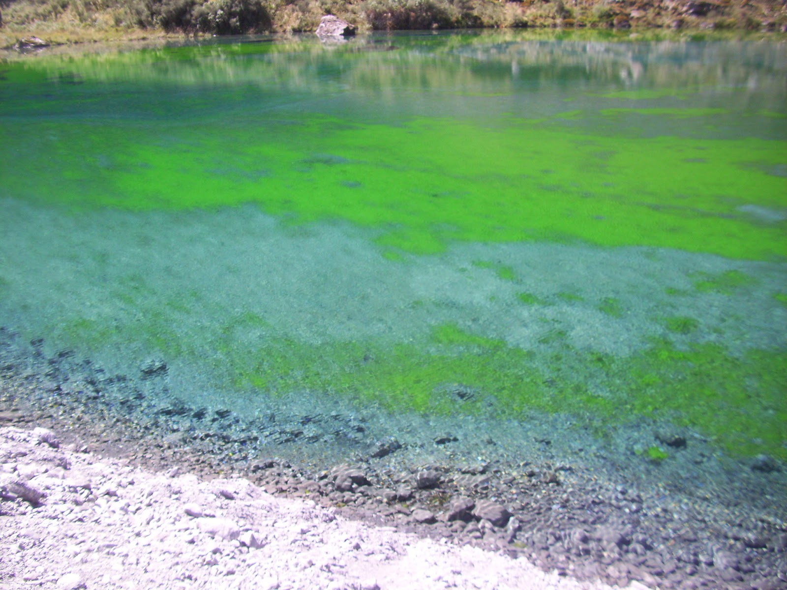
One of the good things about streams emptying into the ocean is fresh water!
We're still a little squeamish about drinking straight from waterfalls and streams, but on a hot day it feels SO good to splash through the clear, cold water and scoop handfuls over the head and down the shirt. |
At our turnaround point, Ruben put me in the lead, so I put the camera away, took myself out of tourist gear, and into running gear. No more pictures. I finished about a half hour ahead of Ruben and walked back to meet him. He did not look like he wanted his picture taken, so for marital harmony I kept the camera in its case and offered him what was left of my water instead.
The Heaphy Track is the longest of the Great Walks, with 7 huts and several lean-to shelters along the way. Trampers need to make reservations to use these huts because it's such a popular route. We passed several groups of trampers packed for at least one overnight. One called us crazies (in a nice way) as we ran past. We're the crazies? That guy was carrying a 40-lb pack!
We were done and dusted and ready for lunch, so we swatted away as many sandflies as we could (those wee beasties are relentless! I got at least 20 bites in the time it took to put on my bug spray) and made food our mission. We were through Karamea before we realized we'd even entered Karamea and stopped at a lodge along the highway to ask where we should go for a bite since it was 4 o'clock and we've learned that small towns shut down around 1 pm on Saturdays. We backtracked 2 kms to the one and only restaurant the lodge owner thought we might find something to discover that the kitchen was closed between lunch and dinner service. Rats! Ruben napped while I drove the twisty, one-lane-bridge-filled road back toward Westport. We discussed briefly if we should stop home to shower before dining during the main dinner hour on a weekend, but we couldn't wait. We scarfed delicious sandwiches at a restaurant in town called Porto Bello. We ate so fast that we were out of there and headed to the showers before the dinner crowd started to show up.