Thursday, March 14, 2013

Punakaiki, West Coast


Finally, a little exploring of the West Coast beyond Westport! There is one through road on the West Coast, Highway 6, so we were sure to come across the town of Punakaiki as we drove south toward glacier country. 

There is a little town that has a few B&Bs, a resort, and a tavern, but the primary draw is the pancake rocks on the coastline. For reasons geologists haven't quite figured out, the limestone here at Punakaiki appears in layers, like a stack of pancakes. The geologists know how the layers formed (immense pressure on alternating hard and soft layers of marine creature remains and plant sediments); what they don't know is why here? Why not in the limestone all along the NZ coast?


Approaching Punakaiki from Westport.


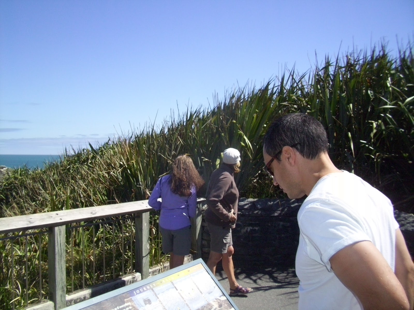
Opposite the jagged coastline, there is dense foliage that gives way to rainforest.


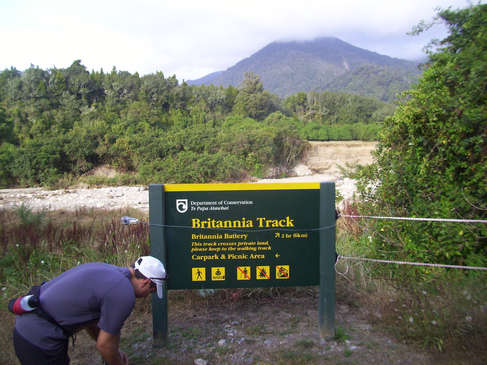
The river rocks show that the beach once came this far inland.


Back on Highway 6, driving south from Punakaiki.


Wednesday, March 6, 2013

Old Ghost Road, Seddonville


 Ruben finally had some time off from the clinic! After finishing charts from the morning session Ruben had the rest of Wednesday free! We had heard about a track that will eventually connect the towns of Seddonville and Lyell via 80 kms of formed tramping and mountain track on an old gold mining route that passes seven gold mining ghost towns.


 I was a little dubious as we drove several kilometers out of the town of Seddonville through somebody's farm on a gravel road. But we finally saw some markers, parked, and hit the track. It was a warm day and the bush provided a nice, shady environment. The track was pretty chunky gravel, which is not the best running surface, but in spots it smoothed out and of course we crossed several streams rushing with clear, cold NZ water.


Our homemade parking spot along the track.

This was the second water crossing we had done in the car.
I declared we'd driven far enough and should embark on foot.


Old Ghost Road track

I spied this beautiful white sand beach below the cliff we were running along.
If we had more time it might have been fun to try to make our way down to it.


I still had the camera out as we drove south along the coast toward Westport.
The Tasman Sea (Pacific Ocean) is off to the right. There were a few homes in the bush to our left.
They have spectacular views, but an hour drive to the nearest grocery store.


Sunday, March 3, 2013

Brittania Track, Waimangaroa

Ruben had call again this past weekend so Friday evening we decided to explore one of the Department of Conservation tracks outside a nearby village called Waimangaroa. What is now the Brittania Track is the path miners followed to reach a battery operated by the Brittannia Mining Company, which extracted gold from this area between 1860 and 1937. Miners lived in huts near the battery during the week and on weekends walked out of the bush and into town or wherever their families lived.

Approaching the trailhead of the Brittania track. There were ropes stretched across the road
but no signs indicating the track was closed, so we parked and walked. 

A guy and his dog were camping in a bus at the trailhead car park.
There wasn't room for other cars so we're guessing perhaps that guy put up the ropes.
Stream crossing along the track.


It's pretty humid here on the West Coast, especially in the early evening when the air coming over the
mountain starts to cool and mix with the moist, warm air coming off the ocean.
This track was a gradual uphill and my cotton T-shirt was drenched pretty quickly. 


The canopy was pretty dense in some parts and had a huge influence on temperature and brightness. My sunglasses were off and on quite a bit! The track was for the most part wide and well kept, but rocky and uneven so vigilance was required. At some point rails and ties had been laid, probably to assist horses or mules hauling timber and supplies in to the battery and hauling gold back out. The spacing of the remains of the ties can making striding difficult. 


The turnaround point of this 12-km run is the remains of a gold battery and the equipment that was used in the process of extracting gold from chunks of quartz dug out of this mountain. 

The crushing heads of the battery.
The battery


The waterwheel that powered the battery. 


We are definitely noticing that the days are becoming shorter. Although the camera makes it look darker than it really was, we determined that it was time to make our way back to the car.